Undergraduate Final Project
Mesr Desert Eco-Camp
February 2017
Abstract
More than half of Iran’s land is covered with desert. Most of the central parts of Iran’s plateau between Alborz and Zagros mountains are derived by the Dasht-e Kavir and Dasht-e Loot Desert, the most important and largest deserts of Iran. Nowadays despite the capabilities of the deserts and the improvement of technology, the tendency to live and travel to the deserts of Iran is reduced. These desert areas are often occupied by industrial exploitation, excessive extraction of mines, and the construction of inefficient factories and industries. Consequently, the consideration of the development of desert areas in an environmentally friendly way, causing human companionship with desert will be very significant. To develop tourism in these areas, providing adequate facilities with the lowest artificial impacts on the context, should be considered. Sustainable tourism is not adverse to the environment and is activated in a way that could flourish social procedures. Mesr Desert Eco Camp is designed to be an environmentally friendly residence and a respective place to the desert ambiance. In other words, Mesr Desert Eco Camp is an eco-tourism destination based on environmental criteria and accordance with the issues and challenges of nature.
Desert Architecture
Climatic conditions in the desert are difficult, but with climate-friendly designs, the ancients overcame the difficulties. Among the measures that have been considered in Persian traditional designs, the following can be mentioned:
- Building houses in the heart of the hills or underground to increase the heat transfer time and use the balanced thermal conditions of the depth of the earth.

- Buildings are built in dense contexts and very compact assemblies, thus trying to create as much shade as possible on the exterior surfaces.

- In these areas, efforts have been made to prevent outside air from entering the building through openings. But other measures, such as creating a wind catcher to cool the indoor air naturally, are very effective.

- The use of central courtyards and the facing of living spaces to these courtyards is one of the main architectural features in hot and dry areas.

- The orientation of buildings in these areas is south to the southeast in order to minimize the penetration of solar heat into the building in the afternoon.

Mesr desert eco-camp design criteria
- Locating the site in the shelter of agricultural lands and desert plants to prevent the entry of sand caused by sandstorms.
- Using soft and curved forms in accordance with the sands and hills of the desert.
- Paying attention to the achievements of the traditional architecture of hot and dry climates in plan and section.
- Using a tent structure for shading in a semi-open space and creating a link between the building and the desert.
- Using photovoltaic cells and combining them with building architecture.
- Placing parts of the building underground to use the thermal capacity.
- Use of materials with high thermal capacity and high thickness (such as rammed earth structure).
Site Analysis
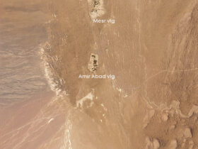
Mesr Desert is a region in the Great Salt Desert of Iran, one of the environs of Khor and Biabanak city in Isfahan province. The geographical location of the Mesr desert is 34.04 North and 54.47 East.

The Sights of the Mesr Desert
- Pits are depressions that are lower than the surrounding area. Chal Selkanun is a beautiful depression that is surrounded by sand dunes and has created beautiful landscapes. There is a small swamp in the inner part of the Selkanun where some water collects during the rainy season. The bottom of the pit does not have any vegetation and in some places, the presence of salt has caused a white coating in it.

-
is located 6 km northeast of Mesr village and 2 km east of Farahzad village in the northeast of Isfahan province. This reed is the main source of wildlife in the desert of the region, the height of the reeds in some cases reaches 4 meters.

-
is one of the most beautiful desert areas of Iran, which is located in the north of Farahzad village. The flowing sand dunes and their special height and topography have given it a beautiful effect. The prevailing wind in this region is west to east.

-
located in the north of Farahzad village, Takht-e Abbasi lacks any vegetation, however, its high altitude has turned it into the desert viewpoint from which the villages of Mesr, Farahzad and the sand dunes can be seen.

-
leads to the salt lake. The route of this river, after passing east of Takht-e Abbasi and Takht-e Aroos, has gained a lot of depth near the salt domes. This river is created from the water wastes of the Mesr desert and Chal-e-Selkanun.

Getting to know Mesr and Farahzad Village
Mesr village has a population of about 120 people and due to its location in the south of the Great Desert, it has a hot and dry climate. Mesr residents used to be mostly engaged in agriculture and animal husbandry, but today they are more engaged in jobs related to accommodation and services to travellers. Mesr village, along with two other very small villages, Amirabad and Farahzad, are located on a north-south line about 6 km long.
Farahzad village is located 2 km north of Mesr village. Currently, the village has 2 permanent residents who are engaged in agriculture and animal husbandry. Being close to Mesr village and the sights of the Mesr desert has given this village a special value.
The Factors of locating the Project Site
- Proximity to the natural features of the Mesr desert.
- Being in the shelter of vegetation to prevent the entry of sand caused by sandstorms.
- Appropriate distance from sustainable water sources such as aqueducts.
- Appropriate distance from the village (no interference in the texture, while providing economic benefits to the villagers)
- Proper views of the desert
Due to the flourishing of tourism in the Mesr village and the characteristics of Farahzad village, the land in the north of Farahzad village, at a distance close to the debouchure of the aqueduct and sheltered by vegetation was selected as a suitable site for desert eco-camp.
The site has views of Farahzad village from the south (right), gardens from the east and north (left), and sand dunes from the west (middle).
Design Process
Along with the studies, criteria, and review and analysis of the site, questions arise that the answers to them determine the design path. The main questions that arise for the design of a desert eco-camp are:
1. What is the main purpose of the complex?
The main goal of this complex is to minimize the negative impacts on the natural environment and to maximize human and economic interactions.
2. What effect does this complex have on nature?
In this complex, efforts should be made to promote the use of clean and renewable energy and to minimize the use of resources that are non-renewable and cause environmental pollution.
3. Who is the audience of this eco-camp?
The audience of this place is nature lovers and ecotourists, who travel to discover the nature of the desert, not necessarily to relax and spend their holidays.
4. What are the uses of this eco-camp and what needs does it meet?
This complex should meet the basic needs of nature lovers and provide conditions for them to be able to easily explore the desert and interact with each other and gradually make the eco-friendly family bigger and bigger.
Concept Formation
The initial concept was formed according to the microclimatic characteristics and the east-west direction of the prevailing wind and coping with the sandstorm. Inspired by the soft, curved shapes of the sand dunes, the original concept of curved shapes was created. Formal alignment with curved desert lines and shelter from sandstorms were the two driving factors in shaping the design concept.
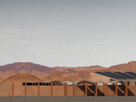
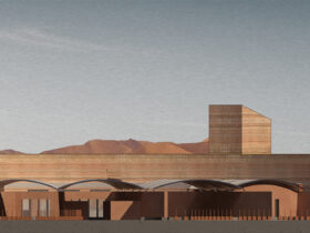
By designing in elevation and section, and by combining the original concept with Persian desert architecture, the following section and elevations got completed.
According to the relationship between the complex and the texture and compatibility with natural and artificial features, the site plan got developed and a secondary concept got generated which was inducing the sense of sun, moon, and the stars by projecting the scheme of them on the site project.
Final Result
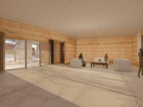
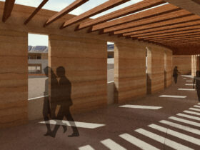
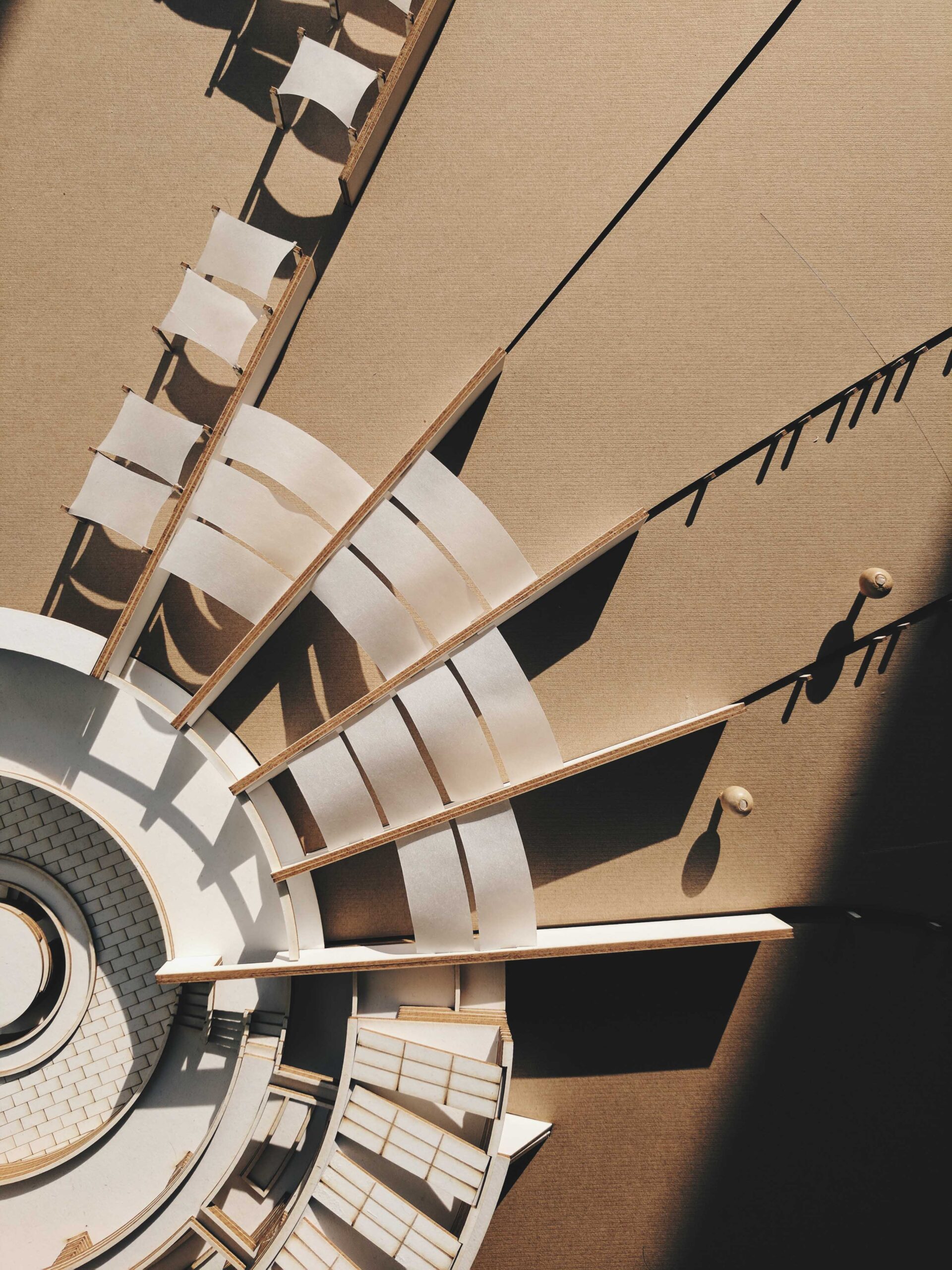
By synthesizing all the sketches above with spatial diagrams and physical planning and developing them, the design got completed and the final documents, perspective views, and the final model were produced.


